By ~4:30 in the afternoon, I was back in the campground, tired and ready to kick back, catch up on some 'reading', listen to some music and get something to eat. I've often been known to have 150 miles in before breakfast, with 4 times that mileage for a day, but I'm doing that much less these days, instead being in no hurry and fighting with my old idea of 'getting to there by tonight' riding style. Besides, I was on vacation and the schedule was whatever I thought it should be.
Growing up around cattle and fences, I've seen these gate tighteners before, but I'd never seen limestone cornerposts before.....


South 400 Road....

More limestone fenceposts, though here, not limited to corners only....

Further south on 400 Road, southwest of Dunlap.....


Lake Kahola, surrounded by cabins and summer homes.....

Many of the valleys have creeks or rivers; there's substantially more water around than it may seem. Typically wet areas often had relatively dense woodlands nearby. Finding walnuts, butternuts and osage oranges there was common.....

Tea Pot Mound in the distance....

Fish Access Site....

Tea Pot Mound, bridge over the Kansas Turnpike......

Looking north (where I'd come from) from Tea Pot Mound.....

Abandoned building, very little left, though there were a couple of broken concrete cattle feed bunkers....

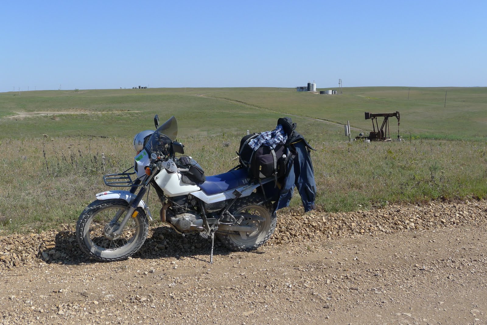
Far southeast corner of Chase County, my first oil well sighting. Surrounding counties, especially those to the south, have far more oil than Chase does....
Texaco Hill, once an area with active wells as far as the eye can see.....

Underground shelter......

Teeter Rock, Teeterville, an area once busy with oil drilling....

Below Teeter Rock, mustangs beyond...

Emma Chase Cafe in Cottonwood Falls.....

More photos of Monday's ride
Several years ago I headed down to the lower SW corner of Kansas to check out a 58' Chevy pick up. The truck turned out to be a bust, but I remember the directions.. " go down this road until ya see a tree.. then turn left.. ". The entire county had one 4 way blinking traffic light out in the middle of nowhere. Why Dorthy wanted to click her heels and go back I'll never understand. :)
ReplyDelete