This is quite representative of the sand...

...and here's some color...


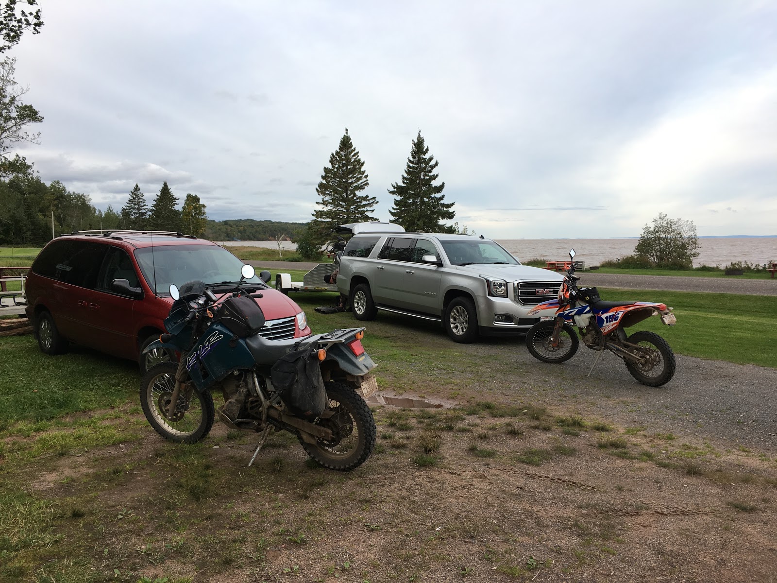
Friday's ride .....

Saturday's ride.....

Eric asked last week and this week, "ETA?"
This week I said, "8:30".
A bit over 4 hours of travel time, some allowance for 'other' and that meant I'd be leaving by 4AM.
At 3:50, I was in the van, turned the key ..... just a lot of very senseless noisy clicking.
There's a local mart open 24/7, so off I went. Rassel'd the old one out, put the new one in and was on my way north by 5:20.

Some rain showers on the way up...at least it wasn't snowing.....yet.


We stood around a bit, waiting for the shower to clear and hopefully a bit of sun...it was a very cool weekend. It was late (for us!) when the wheels finally started to roll but it looked and felt warmer with the sun.
The Russian Orthodox church in Corny...

The home that belonged to Peg's family.

We went east using the Star Route....

Then Jammer Hill....


I had marked a few locations with Waypoints that we'd be stopping at, the Washburn Tower the first one.


Potentially challenging intersections with no real designated Right Of Way. I have reason and experience to be a bit wary.

I looked down that direction but went on past. We had to come back.


Feeling a bit peckish, we decided to stop at the Valhalla Inn for some lunch...


Not bad at all if you stay in those grooves....

A little puddle to rinse the accumulated dirt off...

We stopped at Long Lake, a place our family has visited and enjoyed numerous times.


From the beach at the east end of the lake.....


Open this image with a big screen, there's a Bald Eagle in the tree that Eric saw first.

It's still there waiting to fly away as I pass below.


Almost back out to Hwy 13, Superior in the distance.

The end of our Track just west of Cornucopia, we went downtown to gas up.

Even with 30-40 mph winds, it was beautiful.


We rode downtown to Woody's for some fish. Here you can see the beach erosion and road damage caused by last Spring's massive waves....mother nature is putting real pressure on our favorite campground!

We bought firewood, I brought kindling but the gale force winds made an evening fire on Friday impossible. It was not just windy but raw, so we rode over to the Herbster Gym, a public space to get/stay warm, use the WiFi and relax before crawling into our sleeping bags.

Saturday morning....7AM. At least the wind was down but it wasn't feeling all that much better. And oh but the way, we never saw (or felt within a dozen degrees of..) 50.


A couple of guys enjoying a related outdoor endeavor.

This was marked on our top map as an old railroad bed...the area had rails criss crossing everywhere when the lumber industry ruled the area, most if not all narrow gauge.

Our map showed it within a couple hundred yards off this trail. We hiked in based on map information but saw nothing that hinted at a better roadbed than the one we were on.

Another place I had marked, the former Lenawee Lookout Tower location. As we got here, a human profile was quickly seen by both of us up there on the horizon. Another couple was out for a hike, a couple that I recognized from the restaurant Friday evening as we left. Their vehicle is parked right around the corner, the same spot I had parked the KLR 2 years ago when I attempted to walk up to where the tower had been. A storm had come through and blew most of the trees on this ride down, leaving a tangled mess that made walking up that visible ridge almost impossible. As you can see, the entire area has been cleared.

We'll walk up next time....

Some more bear hunters with their pups....


This little road looked worth exploring, it wasn't on my Track.

Up at the end, a marker proclaiming a former Homestead site.

A road that looked okay on the map, but closed.

Once again, this road is dropping faster and steeper than the photo shares, a monster puddle down there at the bottom. 2 years ago, my progress was stopped there coming from the other side. It looked too intimidating for me to attempt alone; a guy could drown out here.

I had it marked with another Waypoint as something for us to conquer. You can see my gloved hands in conquer contemplation stance.

"....right here....."

Eric went first, showing me how it's done....we both made it though it was as deep as it looked, at least to me.

You take them as they come.....

Sometimes head on, other times only near.

I took this photo...

Eric got this one....

I was getting confident with my side lugg'd tires....playing at riding the sideways slopes, more than once crab steering through the puddles.

Keep that front wheel rolling and aimed properly, you just sail through no problem.

But at the approach and execution of these corners.....you've just about got to get it right the first time.


It was getting too late and too cool for us to complete the entire Track I'd planned. Eric reported that we were averaging 10 mph for the day, 20 mph as a moving average.


Over to Port Wing for dinner....


Eric left before me Sunday morning; my plan to hang around to get some smoked fish in Corny but I needed coffee and breakfast....home was sounding good so I didn't linger very long.
Breakfast at the Bear Paw in Port Wing...


Along Hwy 27 on my way....


A stop in Cumberland...sustenance to share with my fellow camp riders next weekend when we do a variation of this weekend. :)
First Sunday in October -> Slimey Crud Run!!
