Tuesday, March 20, 2012

A long weekend of South Shore riding

In a previous post, I highlighted the Flint Hills Trip I took last fall, only the 3rd time that I used a trailer to haul my bike rather than ride it on my travels.  Last July (7/11) was my 2nd time and it won't be my last. Able to take along more camping gear, a large fly, extra tools and cooler-food (beer) is a very good thing.  The trip involved the TW200 once again, a justifiable bike to haul, extending both the trip's distance away and the length of riding time on the last day.  I'm uncomfortable riding in the dark these days but don't mind driving in it.

Leaving for Cornucopia, Wisconsin Thursday afternoon got me to the Bell Township Park Campground on Lake Siskiwit just before dark, camping fee in the primitive park a very fair $6/night.  A quick camp setup, the bike stayed on the trailer until Friday morning.  The Noah's Tarp stayed in the trunk until morning as well.  Watching stars over and above the lake while seated around the campfire was a great way to end a long day.

Friday morning......


First ride after eggs and sausage was south to Long Lake.  This is the small picnic area and boat landing at the west end.  The family has spent numerous afternoons swimming and picnicking at the east end of the lake.


Rode quite a few fireroads and plowed through lots of deep sand, almost too much even for the fat-tired TW200.  Back to camp for lunch and to finish setting up camp.  There had been another unit in the camp over night, but they had left bright and early Friday morning.  Friday mid-day, I was the only one there.


After a quick lunch, I was anxious to get back on the bike for some more exploring.  Having visited the area often, I was curious about the many dirt roads that lead away from Hwy 13 as well as the county roads, especially the dirt roads that led north up to the lake.  I set out to start turning north towards Lake Superior at every opportunity.

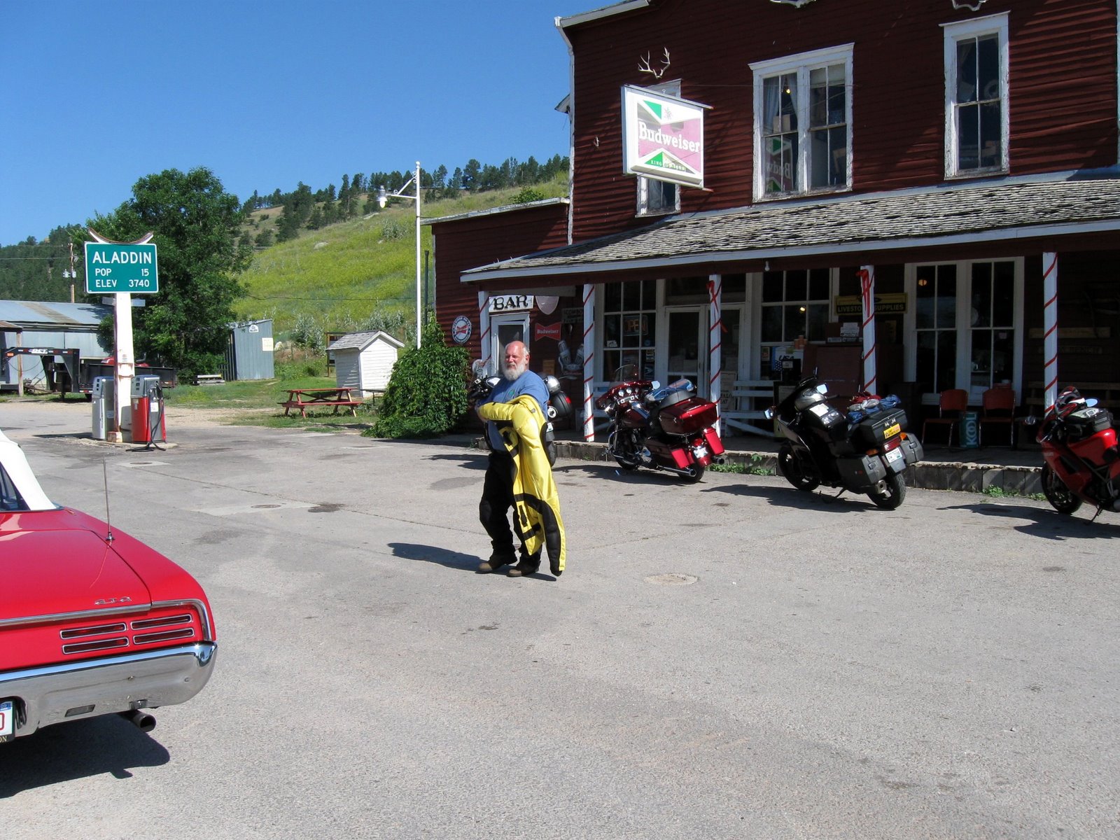
"ATVer's No Donuts....."


One of the roads to the Lake.....


Fairly overgrown......


And then the lake, right above some of the sea caves....


Another shaded road, not necessarily very car-friendly....


Big Sand Bay Road, Sand Island in the distance......


A different spot, the beach at the end of Allen Road, Sand Bay in the distance.....


At the end of Eagle Bay Road, maybe the loveliest beach of them all, a couple of the Apostle Islands in the distance.  These last end-of-road-beaches are all on the Red Cliff Reservation.  This one, just around the corner from Point Detour, the spot I'd been a couple of years before on a very windy, rainy day while I was completing the Trans Wisconsin Adventure Trail, a Route that friend Chad put together that essentially uses gravel and fire roads to traverse the 'height' of Wisconsin, from the Illinois border to Lake Superior.  I spent some quality time here on a lovely July day........


Saturday morning didn't start wet and rainy but it got that way by mid-morning.  It hadn't started yet when I stopped on this hill.  Bark River Road, looking east into the valley.


The Port Wing dock and breakwater renovation.


The squall line was rapidly coming east, towards us from Duluth.  I headed back to Corny, really in the mood for a hot cup.....

And I found it, a very good one (raspberry scone too!).  While I was inside, the hard rain started.


Late morning, under the Noah's Tarp, ear buds in, some lunch and only partly hearing the falling rain.  Kayaking class had arrived Friday night, now away somewhere practicing getting wet........


The rain let up after lunch, so I got back on the bike, back to the west to continue where I left off that morning.  The Bark Bay Slough Natural Area


Bark Point Boat Launch.....


Port Wing Boreal Forest...


Brule River Outlet into Lake Superior....


Cornucopia Airstrip.  25 years ago Peg and I happened to be in Corny the same weekend that there was a large airshow, across the lake in Duluth.  A Stearman biplane was returning home to Illinois after the show and stopped at the mowed airfield, offering rides for $25.  I took the best plane ride I've ever or will ever have; open cockpit, fresh air and speeds and altitudes that made being "up" a true pleasure.


Sunday morning, bright and clear.  The wetter sand made for better riding....


The Fire Tower.  This trail UP doesn't look steep, but it is.  I tried a couple of times, sand was too deep and too soft, then found another way up......on the blacktop service road ;)


This is where I'd have come up, had I been able to make it in the soft sand.


Looking south from the base of the tower.....


South Niemisto Road.....


Sioux Beach....


Back in Corny, the obligatory photo in front of The Twin Sisters, wife Peg's grandfather's now-on-land fishing boat.


After spending time in the very fine museum, I returned to the bike parked by the Twin Sisters and saw a group of people standing in front for group photos.  Not recognizing anyone, I thought that possibly they were family on Peg's side that I didn't know.  I asked and found out that the extended family gets their photo taken in front of the boat every time they're on the south shore since they've got twin daughters, one of them not present this trip.


Back to camp for takedown and the return back to southern Minnesota.....


Packed, the bike on the trailer and ready to go.....


Just under 400 miles for the weekend on the bike, slightly more than that on the car.  I'll be doing this again!


Wednesday, March 14, 2012

The Ducati Goes West

Over the winter of 07-08, friends and I decided to plan a longer trip than our weekends had been taking us on.  All fans of 'west', it was decided that we'd take two weeks to see the Black Hills, then move on to Yellowstone and hopefully have enough time to do some exploring in addition to just riding everyday.

We decided on starting out the Monday following the July 4 weekend, which was difficult for me since I'd have started out if not the Friday evening before, certainly early Saturday morning.  The brothers from Wisconsin weren't able to leave on the weekend, so we'd all meet in Jackson, MN, along I-90 in southwestern MN.  They'd be coming west on the Interstate and since I had all day to cover less than half the miles, an involved, slower route was planned on county roads so that I'd arrive in Jackson by late afternoon, the KOA our camping spot for the night.

My Monday lunch stop, near Beauford, MN, pulled over for a sandwich and some granola.......


Since I had arrived early and was setup, it sounded like a good idea to ride south into Iowa and visit Spirit Lake.  I'd heard that there were cabins and resort area there so an Iowa lake seemed like a worthy thing to go in search of.  North and back into MN, I was fascinated with the large and very long trucks all parked in a line at the nearby Truck Stop.  They were carrying wind turbine blades and made some very impressive loads.  By late afternoon, 2 of the three guys from Wisconsin had arrived.  Our 4th person wasn't able to get away right away and the word was that he'd catch up to us as we moved west.

Steve's HD and Scott's V-Strom........


Good to finally get moving, Tuesday morning's first goal was to move west on I-90 through Souix Falls and on to Humboldt and Hwy 19 to move us south, getting off the Interstate and onto a more pleasant, and by our definition, more interesting route west.  Through Pumpkin, SD and on down to State Hwy #44 which was to become our path to cross South Dakota.

Lunch stop in Parkston, SD.  How did we ever cope before there were gas/sandwich/convenience stores?


Our plans were foiled once we got near the Missouri River.  The old bridge there was out and being rebuilt, the only practical choice was to go north again and jump onto I-90 once again.  With more than enough time to daydream, thoughts drifted back to my grandfather's story of riding west in the 1920's on his very early Harley.  He mentions waiting to taking the ferry to cross the MO River at Mobridge while on the Yellowstone Trail, the the charge to cross the river $.25

Again on the Interstate, traveling as far as Cactus Flat where we left the big road, going south on #240 to the Badlands National Monument.  With what looked like some weather approaching, a discussion was needed about stopping or riding through the park.


The available light, considering it was mid-day, was rather nice for photos.....


On the west end of the park, most if not all of the weather passing us to the north.  If we had any drops, it couldn't have been more than a few.


Buffalo Gap National Grassland.....


We arrived at the Kemp's Kamp, just outside of Keystone, a place that Scott and Steve had stayed at previously and it was a great place.  After we got all setup at the campground, we rode back down into Keystone for something to eat.


After dinner, we went back to camp for a short time, then up to Mt. Rushmore for the evening program which was interesting, patriotic and regal with the background of the 4 profiles in the distance above us.


Wed. morning dawned bright and clear with what promised to be a perfect day.  Breaking camp, we headed up the valley, using the Old Hill City Road towards Hill City.


South on #87.....


We noticed the motorhome coming up the road, the Needles Highway supposedly closed to wide/tall vehicles.  The road is one-way and we started to wonder if he might block our route.....


Everyone wondering....


He did it...no problem.....


Up the Mt. Coolidge Observation Road....


From the observation platform......


The story of the Galena fire, some 20 years before....


Around the Custer State Park loop.....


Up the gravel road to the buffalo herd viewing area.....


While parked on the opposite side of the road from the parking lot, a gentleman approached me, wondering, "who's touring on the ST2?.....good for you, I've always thought more people should".  With a pat on the back, he smiled and said, "Good for you".  I'll always wonder who the ND guy was....


After leaving the State Park, we took a left and went north back towards Spearfish, using #385 and #14A, stopping here for another great view of the Faces in the distance.  Scott and Steve off the path for a better view......


From in behind.....


Into Spearfish, then stopped for the night at Chris' Campground.  Very inviting showers and a good place to rest....


Tents, rain fly's, ground cloths, etc. spread everywhere, taking advantage of the warm sunlight to dry out due to being packed that morning in very heavy dew.


Are you remembering that our 4th camper, Chris was rumored to be catching up to us a couple of days ago??  Well, after riding all night, Chris caught us at Spearfish as were packing up, after having left the afternoon before.  Not visible here, but the bike was absolutely covered (insulated??) with bugs from his overnight travel.


Aladdin, WY, The General Store on our way to Devil's Tower.....


The Community Bench out front......


After something to drink and a couple of T-shirts, it was west on 224, Devil's Tower becoming visible in the distance.....


Surprised by the almost 'swoopie' shape to the north, I had never seen it from this direction before.  All my former viewings and knowledge of the pillar's shape were very symmetrical.


The three of us went inside while Chris stayed outside to take a nap and recover......


It was hot, upper 90's and this shade was precious...


We listened to the Ranger's presentation, then went up the trail to circle the monument.  Very interesting perspective by completing the loop trail.


There were two parties of climbers on the rock the day we were there.


From the north side....


Northwest to Sheridan on Route 14.  We saw 100's on the digital temperature signs.......


Our goal was to find a campsite on the edge of the Bighorns and after stopping at the first potential spot, we decided to press on, certain that we could do better.  Tired from the day's heat and long-ish ride, sunset was coming so it was time to be stopping.  The trailer court in Ranchester, WY was our spot for the night.  We were given the choice of staying in our tents or in this Tepee.........


We decided to do the tents.....


Friday morning in Ranchester......


Almost ready, just finishing up breakfast.  I'm splitting off from the guys this morning, they're heading on to Yellowstone for the second week and I'll be heading towards home. 


On #14 west, the Bighorns in the distance.  We'll ride as far as Burgess Junction together, they'll continue on 14A towards Cody, I'll be turning south on #14 towards Greybull, WY after a stop and short hike at Burgess Junction.  


Elevation 7787 on the GPS, definitely no longer on the Plains......


Visitor Center in the distance........


Stopped for construction, east of Shell, heading down into the valley at Greybull.......


Outside of Ten Sleep.  After riding through the strongest winds I've ever been on the bike in, it was nice to get out of the deep and long valley that Greybull rests in and up towards the Powder River Pass.


Stopped for a roadside lunch on the way up to Powder River Pass.


Meadowlark Lake......


Almost to the pass......


At the top and now down into Buffalo, WY, then back on I-90, hoping to make Spearfish and another night back at Chris' Campground.......


Saturday morning back in Spearfish, very same campsite that we stayed in a few days before.  BMW's were showing up for an area rally.....


East of Sturgis along #34, looking back to the west, Bear Butte in the distance.....


Impala Place.....


Ash Creek Road and its ranches.......


The Oahe Dam and Recreation Area.....


In the park's cottonwood campground.......


Sunday morning, up and left the Pierre area, east on 14, some lunch in New Ulm, through St. Peter and then county roads into Faribault and more back home.  It was a great trip, fun week and a blast actually getting the Ducati out for some real road miles.